Surveys for Environment and Habitat Mapping
Surveys for marine environment and habitat mapping are used to support activities and projects, such as:
Understanding the marine environment and its habitats is fundamental to ensuring any activities on or near the water are undertaken with consideration. Hydrographic surveyors collect the data that provides this in-depth understanding.
Surveys for environment and habitat mapping are a method of gathering information about the ecology of a site. The essential piece of information collected is the habitat type to which a particular area can be assigned. Habitat types are determined by reference to a system of habitat classification, which must be clearly identified. The location and extent of different habitat types that are present at a site are mapped to provide a clear spatial record.
The data collected by hydrographic surveyors is reproduced into maps and spatial modelling tools such as ArcGIS. The detailed maps are used to describe the environmental conditions, while spatial modelling tools map the environment into similar physical conditions.
Having a solid understanding of the distribution, structure and extent of seabed habitats is important for their protection. It improves the preservation and protection of our natural maritime surroundings when marine infrastructure is developed.
The PHS Approach
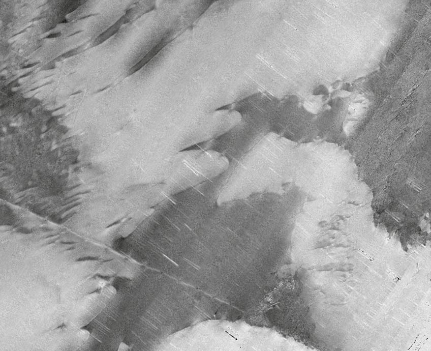
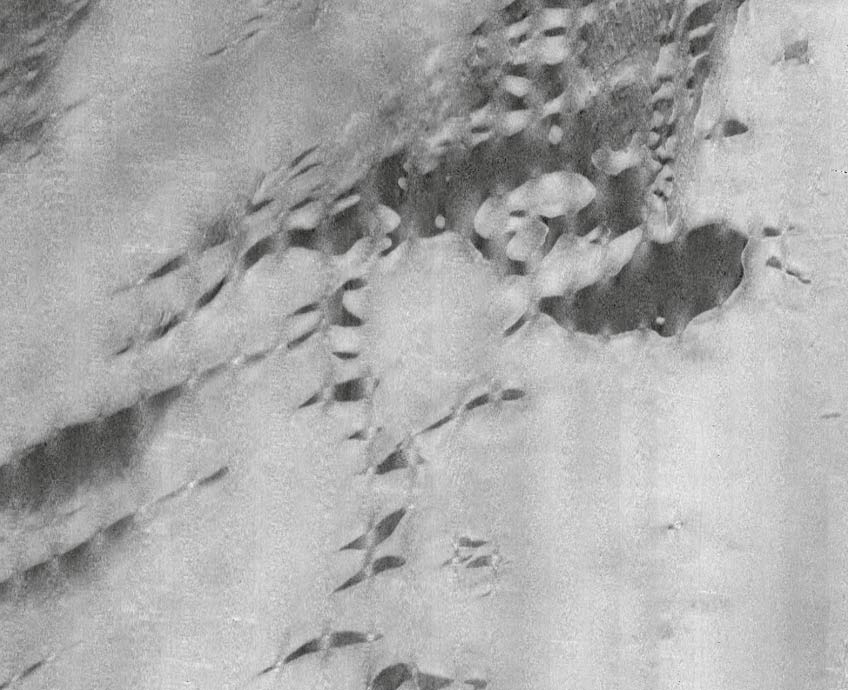
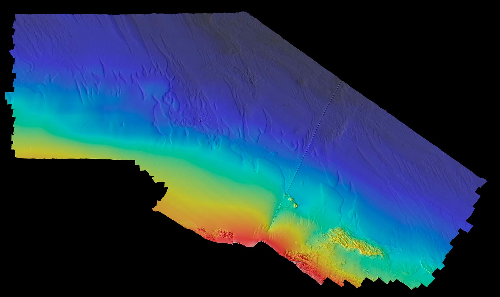
PHS has the expertise and resources to provide detailed knowledge of the seabed using various data collection methods, including multibeam surveys, side scan sonar surveys, seabed sampling, drop camera and towed video.
Multibeam Surveys
Side Scan Sonar Surveys
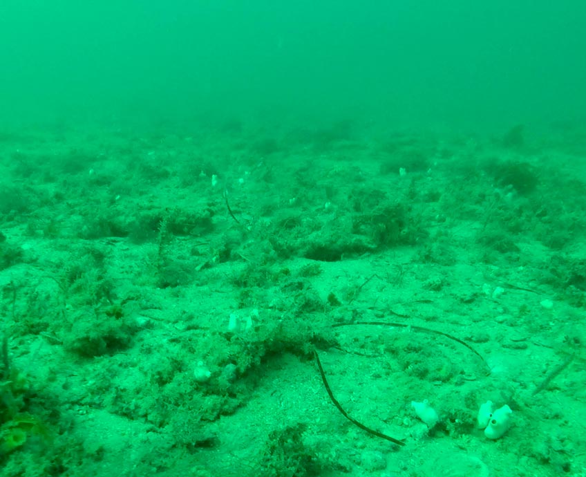
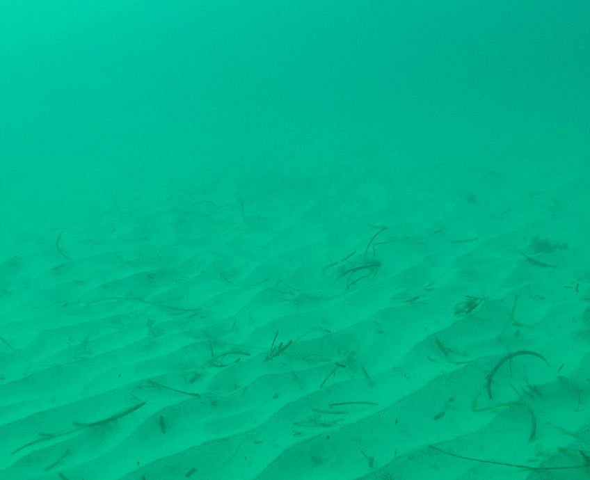
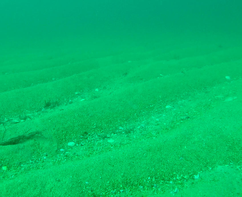
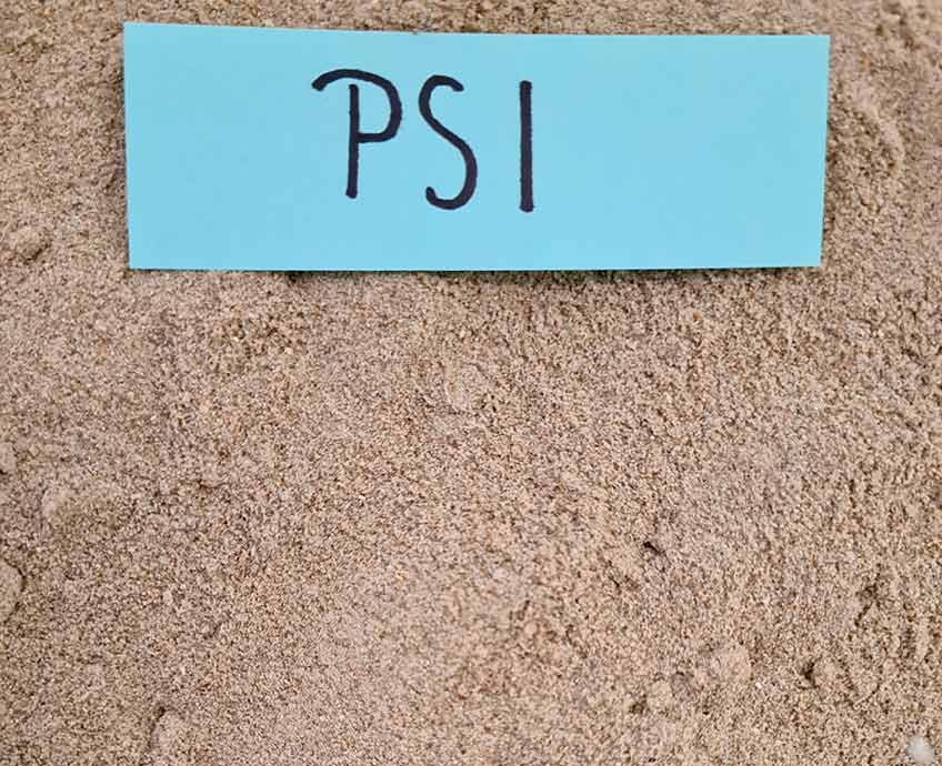
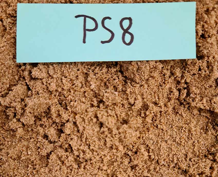
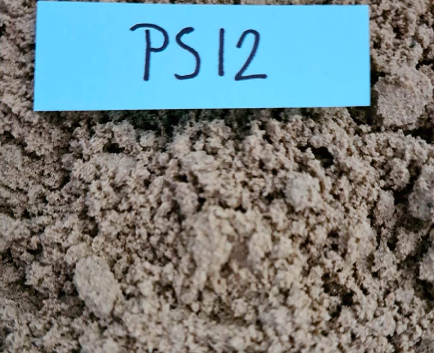
Seabed Sampling and Imaging
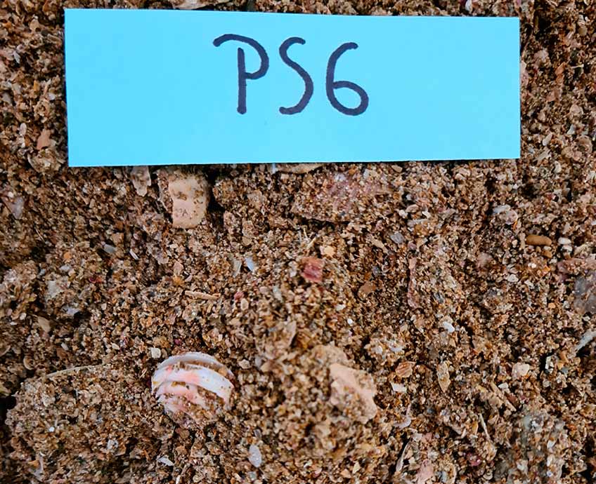
Seabed sampling and imaging enables ground truthing of different seabed textures to determine the marine habitat of a particular seabed texture that has been identified by multibeam or side scan sonar surveys.
There is a wide range of survey equipment and vessels available to conduct hydrographic surveys and all are not equal. The choice of equipment and methodology for acquisition and processing of data can be the difference between a quality, compliant survey and not getting the information you require.
