Surveys for Navigational Safety
Hydrographic surveying is critical to assessing and maintaining navigational safety. Understanding all factors that affect the measurement of depth is critical to providing the mariner with a navigation product they can trust. Historically, hydrographic surveying’s primary purpose was the safety of navigation, and this is still relevant with increased size and frequency of shipping requiring more accurate and diverse information represented on the navigation chart.
Who is responsible for the safety of navigation?
Masters and officers in charge of a navigational watch are responsible for the safe navigation of their ships at all times, including when a pilot is on board. However, masters and officers in charge rely on the data and information provided by a hydrographic surveyor. If hydrographic information and data is not correctly collected, analysed, and processed, it could have serious implications and result in a navigation incident.
What services can PHS provide to ensure safety of navigation?
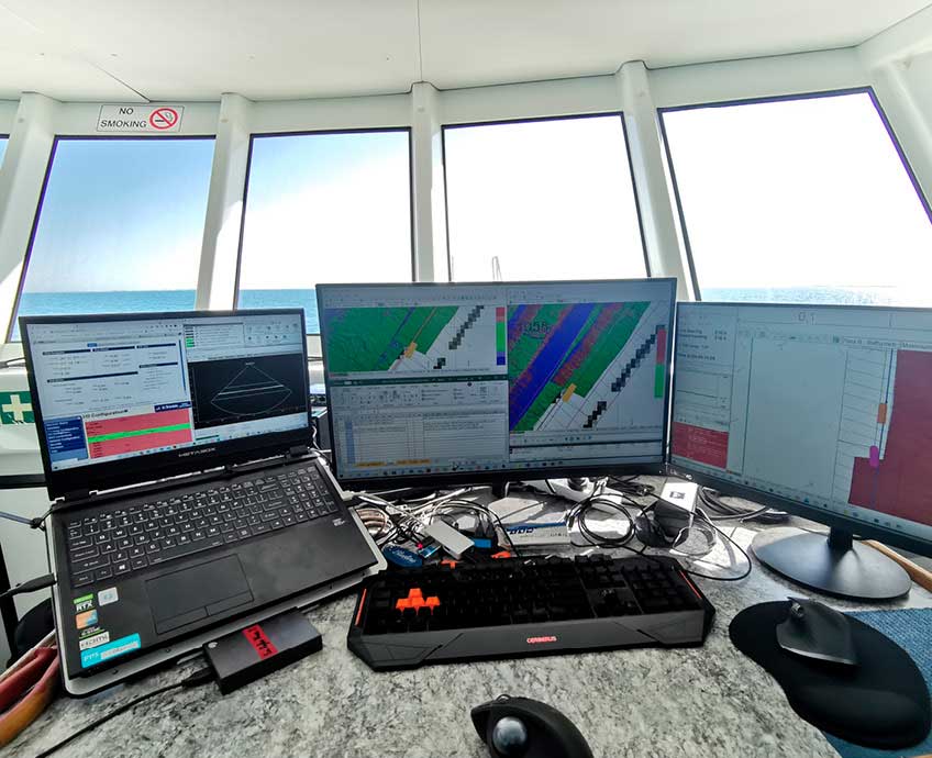
PHS can conduct high-resolution hydrographic surveys to collect data, both above and below the waterline about infrastructure assets. PHS can also install and maintain an extensive network of metocean (meteorological and oceanographic) equipment to increase awareness of tides, local weather factors and currents to improve safety on the water.
Our experience covers hydrographic surveys in ports and harbours, as well as large offshore areas for updating nautical charts. Surveys are conducted to international and local standards and specifications, and all surveys are accompanied by comprehensive reports and metadata. The information delivered will provide the user with confidence that the survey meets the requirements and understanding any limitations of the delivered data.
Bathymetric data we collect is also provided to the Australian Hydrographic Office (AHO) to update the official paper charts and the electronic navigational charts used for navigation.
